Midland and the Panhandle are zoned for Shaw High. Zillow's typical value in Midland's ZIP 31820 was $387,181 in August 2026, up 2.89% in a year.
Last checked Oct. 6, 2026. Sources: the city’s 2038 Comprehensive Plan, 2023 update (PDF), the city’s planning area, tax allocation district, points of interest, ZIP code and address point map layers, the Muscogee County School District’s infoFinder zone lookup, the state’s 2025 School Grades data, Zillow Research, METRA and OpenStreetMap.
The Panhandle is the long arm of Columbus that reaches east along J.R. Allen Parkway (US 80), with Midland and Upatoi as its best-known places. It is the city’s second-largest planning area at about 26,000 acres, and the city’s plan says the post’s training ranges limit building in parts of it.
What this means for you
- Zoned high school: Shaw High, for 99% of sampled addresses. Check yours with the district’s infoFinder lookup.
- Home value: $387,181 in ZIP 31820 (Midland) in August 2026, according to the Zillow Home Value Index.
- Nearest interstate exit: I-185 Exit 7 or 8, about 7.4 miles by road from the middle of the area.
Part of our Columbus neighborhoods guide.
Where it is
This is the comprehensive plan’s Panhandle planning area (Planning Area B). J.R. Allen Parkway, Manchester Expressway, Warm Springs Road, Psalmond Road, Schomburg Road and Beaver Run Road are the main roads. OpenStreetMap places Midland, Upatoi, Beaver Run, Flat Rock, Williamsburg, Leesburg and Liberty Hall here. Midland (31820) and Upatoi (31829) are postal names inside the consolidated city, according to the city’s ZIP code map layer.
The comprehensive plan says the Panhandle grew fast in the 1990s and 2000s, then slowed after the 2008 recession and because of “the Fort Benning Digital Ranges in the Panhandle.” Two of its character areas are here:
- Beaver Run, “one of the fastest growing areas of Columbus,” at “the crossroads of two major highways: US 80 and Manchester Expressway.” The plan calls it “dense and congested” and asks for traffic studies, alternative truck routes and safe access to Beaver Run Road from the subdivisions along it.
- Midland Commons, a tax allocation district created in 2018 for the former Swift Denim plant site at J.R. Allen Parkway and Manchester Expressway. The plan describes a planned development with 355,000 square feet of shops and 250 senior housing units, plus improvements to Flat Rock Park and a bike trail link.
The city’s address data has 9,984 address points here, 9,201 of them residential. By ZIP code, 39% are in 31820, 33% in 31909, 20% in 31907 and 7% in 31829.
Schools
How a random sample of 160 residential address points here came back in the district’s infoFinder lookup on Oct. 6, 2026. Many addresses returned two middle schools, so shares add to more than 100%. Scores are 2025 College and Career Ready Performance Index (CCRPI) figures from the state’s School Grades report.
| Level | School | Share of sampled addresses | 2025 CCRPI |
|---|---|---|---|
| High | Shaw High (report card) | 99% | 69.3 |
| Middle | Midland Middle (report card) | 94% | 67.2 |
| Middle | Aaron Cohn Middle (report card) | 64% | 85.3 |
| Middle | Blackmon Road Middle (report card) | 15% | 78.0 |
| Elementary | Mathews Elementary (report card) | 44% | 74.5 |
| Elementary | Midland Academy (report card) | 28% | 77.6 |
| Elementary | Waddell Elementary (report card) | 25% | 61.9 |
| Elementary | Eagle Ridge Academy (report card) | 4% | 72.2 |
Where the lookup lists both Midland Middle and Aaron Cohn Middle, ask the district which applies before you register: 706-748-2000. Five schools are inside the area: Mathews Elementary, 7533 Lynch Road; Midland Academy, 7373 Psalmond Road; Waddell Elementary, 6101 Miller Road; Midland Middle, 6990 Warm Springs Road; and Aaron Cohn Middle, 7352 Garrett Road. The state average was 78.0 and the district scored 69.3. More in our Columbus schools guide.
Home values
From the Zillow Home Value Index for August 2026:
| ZIP code | Zillow’s place name | Share of addresses here | Typical value | Change in a year |
|---|---|---|---|---|
| 31820 | Midland | 39% | $387,181 | +2.89% |
| 31909 | Columbus | 33% | $235,770 | +2.80% |
| 31907 | Columbus | 20% | $162,219 | +3.61% |
| 31829 | Upatoi | 7% | $387,039 | +3.80% |
The index is a modeled typical value for the middle third of homes, not a sale price. ZIP codes 31909 and 31907 reach well beyond the Panhandle. The citywide figure was $175,951, up 2.92% on the year. More in our home prices guide.
Parks and trails
From the city’s points of interest data and its parks pages:
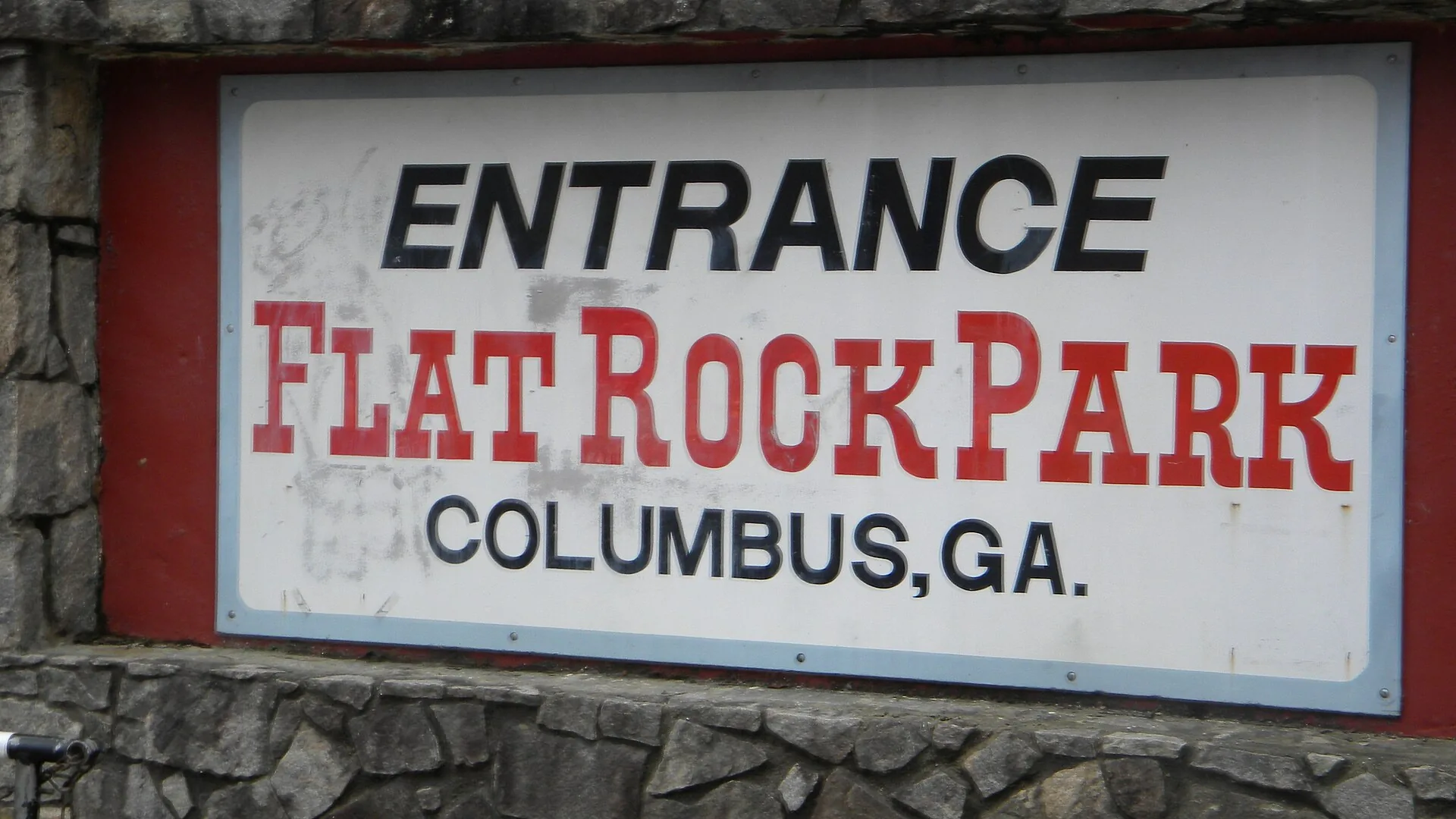
- Flat Rock Park, 6106 Warm Springs Road.
- Psalmond Road Park and Psalmond Road Pool, 6550 Psalmond Road, and the Psalmond Road recreation fields, 6800 Psalmond Road.
- Williamsburg Park, 6220 Williamsburg Drive.
- Old Dominion Park, 5614 Old Dominion Road.
- Beaver Run Pool, 6501 Widgeon Drive.
- Fall Line Trace: the paved rail-trail’s eastern miles, from about mile 7 to its end past mile 10 near Psalmond Road, run through the area, by the city’s mile markers.
More in our parks and trails guide and walking and biking trails guide.
Getting around
- Interstate: I-185 Exit 7, Manchester Expressway, or Exit 8, Airport Thruway, each about 7.4 miles by road. J.R. Allen Parkway (US 80) runs through the area and meets I-185 at Exit 10.
- Government Center, 100 10th St.: about 11.2 miles.
- Columbus Airport: about 8.2 miles. Hartsfield-Jackson Atlanta International Airport: about 100.7 miles.
- Distances are measured on the OpenStreetMap road network with the OSRM routing engine from 6900 Psalmond Road, an address near the middle of the area’s homes. They are distances, not drive times.
- Bus: the city’s METRA stop data shows no regular bus stops in the Panhandle. See METRA’s route information for the nearest routes and Dial-A-Ride.
More in our getting around guide.
Groceries and everyday stores
From OpenStreetMap:
- Publix, 6901 Ray Wright Way
- Walmart Supercenter, with pharmacy, 6475 Gateway Road
- Walmart Neighborhood Market, 7400 Blackmon Road
- Walgreens, 6950 Beaver Run Road
How we drew this area
This area is the comprehensive plan’s Panhandle planning area, taken from the Columbus Consolidated Government’s planning area map layer. Address counts and ZIP codes come from the city’s address point layer. School shares come from 160 randomly chosen residential address points checked against the district’s infoFinder lookup on Oct. 6, 2026. Store locations are © OpenStreetMap contributors.
Frequently asked questions
Is Midland part of Columbus, Georgia?
Yes. Midland and Upatoi are inside the consolidated city of Columbus and Muscogee County. They keep their own postal names: ZIP 31820 is Midland and 31829 is Upatoi.
Is Midland, Georgia a good place to live?
Here are the facts. Midland is in the city’s Panhandle planning area, with Flat Rock Park, the end of the Fall Line Trace and the Beaver Run shopping area. Nearly every sampled address is zoned for Shaw High, which scored 69.3 on Georgia’s 2025 CCRPI, and Zillow put the typical home value in ZIP 31820 at $387,181 in August 2026.
What schools serve Midland, Georgia?
Shaw High for high school. The district’s lookup lists Midland Middle for most addresses, often alongside Aaron Cohn Middle, and Mathews Elementary, Midland Academy or Waddell Elementary for elementary school.
Is there a bus to Midland in Columbus?
The city’s METRA stop data shows no regular bus stops in the Panhandle planning area. METRA’s Dial-A-Ride paratransit serves riders whose disability keeps them from using regular buses.
Have your say